🚢 The New England Island Transit Grid
Select a destination corridor below to view primary departure ports, carrier details, and seasonal vehicle capabilities.
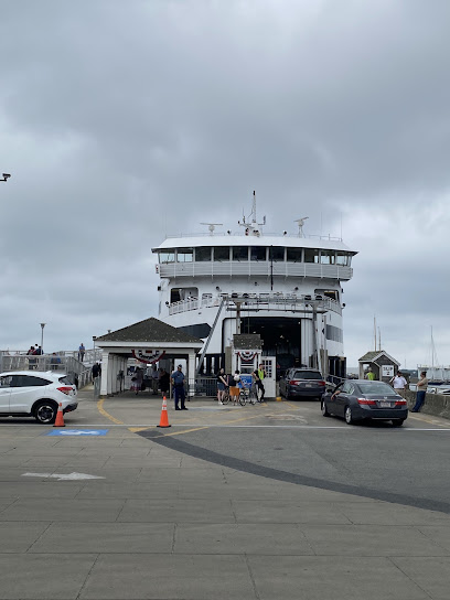
Martha's Vineyard Transit
Primary Ports: Woods Hole, Hyannis, & Falmouth, MA
Key Carriers: Steamship Authority & Island Queen
Transit Time: 45 minutes (Woods Hole Route)
Type: Auto & Passenger Options Available
The absolute hub of Cape Cod island hopping. The Steamship Authority operates year-round heavy vessels from Woods Hole capable of carrying passenger cars (reservations required months in advance). Seasonal high-speed passenger-only catamarans run from Falmouth and Hyannis.
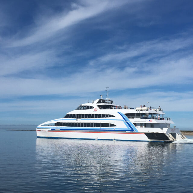
Nantucket Island Transit
Primary Ports: Hyannis, MA
Key Carriers: Hy-Line Cruises & Steamship Authority
Transit Time: 1 hour (High-Speed) / 2.5 hours (Traditional)
Type: Primarily Passenger; Restricted Auto Slots
Located 30 miles out at sea, Nantucket is best explored on foot or by bicycle. High-speed passenger catamarans dominate the Hyannis route, rocketing visitors across Nantucket Sound in exactly one hour. Traditional freight ferries allow vehicles but charge premium, booked rates.
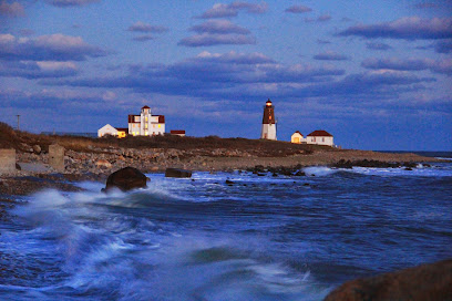
Block Island Transit (Rhode Island)
Primary Ports: Point Judith & Newport, RI
Key Carriers: Interstate Navigation (Block Island Ferry)
Transit Time: 30 mins (High-Speed) / 55 mins (Traditional)
Type: Year-Round Passenger; Seasonal Point Judith Auto
Clipped to the southern tail of Rhode Island Sound, Block Island offers rolling green bluffs and dramatic shore walks. Point Judith serves as the master gateway, operating high-speed passenger craft alongside classic traditional vehicle vessels. Seasonal passenger shuttles also serve downtown Newport.
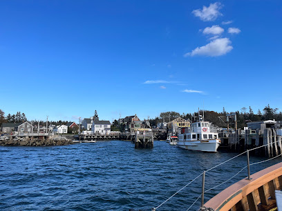
Monhegan Island Transit (Maine)
Primary Ports: Port Clyde, New Harbor, & Boothbay Harbor, ME
Key Carriers: Monhegan Boat Line & Hardy Boat Cruises
Transit Time: 50 to 60 minutes
Type: STRICTLY Passenger & Freight (No Cars Allowed)
An artist and hiker haven located 10 miles off Maine's rocky mid-coast. This wilderness island features completely unpaved roads and massive 160-foot granite cliffs. The historic mailboat out of Port Clyde runs year-round, delivering vital supplies and walkers daily.
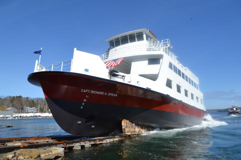
Vinalhaven Island Transit (Maine)
Primary Ports: Rockland, ME
Key Carriers: Maine State Ferry Service
Transit Time: 1 hour 15 minutes
Type: Auto & Passenger Public Line
The largest working lobster fleet enclave in Penobscot Bay. Run by the Maine Department of Transportation, this high-utility public vessel carries island commuters, trucks, and travelers from the historic stone docks of Rockland out past monumental lighthouses into the heart of the bay.
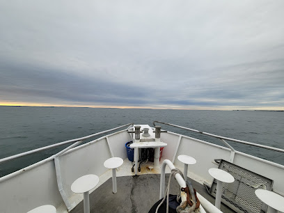
Cuttyhunk Island Transit
Primary Ports: New Bedford, MA
Key Carriers: Cuttyhunk Ferry Co.
Transit Time: 1 hour
Type: Passenger Only (No Public Vehicles)
The quietest, southern-most anchor of the Elizabeth Islands chain. Reached by a scenic voyage through historic New Bedford harbor across Buzzards Bay. Cuttyhunk is entirely car-free, offering absolute stillness, shell-lined shore trails, and sweeping raw panoramic views.